
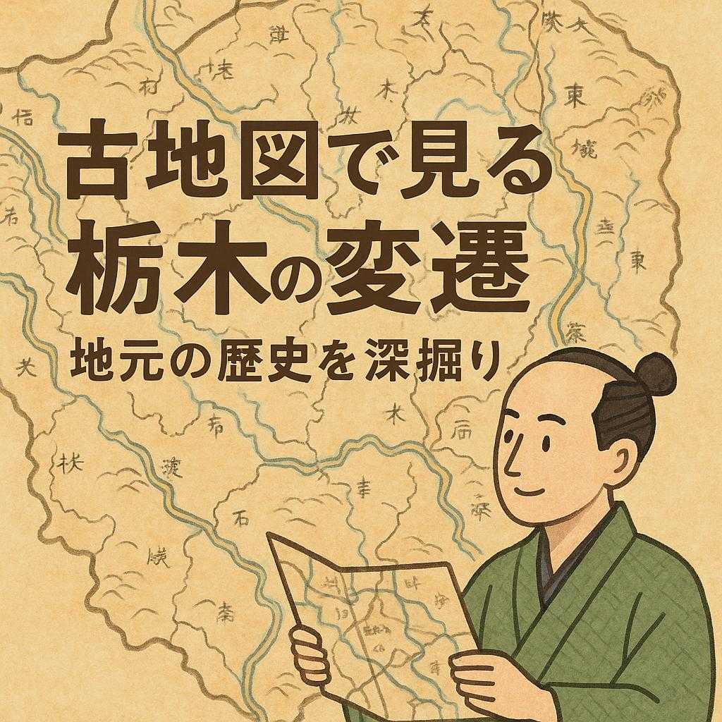
Unraveling Tochigi’s History through Old Maps
Tochigi Prefecture is known for its rich nature and cultural heritage, and old maps are invaluable in gaining a deeper understanding of its changes. Old maps are precious resources that visually track past land use and geographical changes. The development of Tochigi’s cityscape and transportation network from the Meiji era to the present becomes clear through detailed topographical maps created at that time.
With tools like “Konjaku Map on the web” and the old map collection provided by the Geospatial Information Authority of Japan, you can explore the historical background of various regions within Tochigi Prefecture by comparing old and new topographical maps. These tools also allow you to delve into the historical context of how the area where you and your family live has changed over time.
For example, in Tochigi City, town planning centered around the north-south Nikko Reheishi Kaido was conducted, and various cultural facilities and shopping streets were formed along this road. Such detailed information can be obtained by looking at old maps. They also contribute significantly to urban planning and social structure studies, benefiting regional research and educational activities.
Historical Background of Tochigi as Seen through Old Maps
Tochigi Prefecture is known as a region where rich nature and culture intersect in Japan. To understand the changes in this area, old maps are invaluable resources. Maps from the Meiji era and earlier provide a visual means to grasp the society and environment of those times.
The Importance of Old Maps in Tochigi Prefecture
Old maps are essential tools for understanding how the land has been shaped. In Tochigi Prefecture, many old maps held by the Geospatial Information Authority of Japan are available for use. Through these resources, you can see the municipal boundaries and geographical changes that have continued from the past to the present. Additionally, “Konjaku Map on the web” is a service that allows you to view and compare old and new topographical maps, helping you discover the history of your own living area.
Southern Tochigi Prefecture in the Meiji Era
The “First Army District Rapid Survey Maps” created by the army from the 1880s to the 1890s are particularly noteworthy. During this period, urban planning centered around major roads such as the Nikko Reheishi Kaido was underway. The JR Ryomo Line and Tobu Nikko Line were also laid out during this time, each connecting to the old city area via different routes.
Case Study: Utsunomiya City and Its Surroundings
Utsunomiya City is known as a town with a long history. According to a graduate of Utsunomiya University’s Graduate School of Education, born in 1965, folklore research is actively conducted in this region. By learning about the local culture, festivals, and performing arts, new discoveries can be made. It is also important to focus on old place names and town names and consider their meanings.
Relationship with Japan as a Whole before the Edo Period
The “Gofunai Okan Sono Hoka Enkaku Zusho,” recorded from around 1673 to 1864, is also important as a collection of old maps of Japan. These maps are valuable not only for detailed information on individual areas but also for understanding the influences and relationships across Japan as a whole.
Impact and Utilization in the Present
In modern times, such historical resources are also used for tourism promotion. In activities like “town walking,” understanding regional culture is promoted by seeing the differences and similarities with the past. Additionally, aerial photographs taken from the 1970s to the present are also available in some areas, further enhancing understanding.
Prospects for the Future
These valuable information resources can be considered treasures to be passed on to future generations. Thanks to the accessibility made easy by digitized databases, many people can delve into themes of interest. Therefore, further research and exploration from new perspectives are expected.
In conclusion, the theme of “Tracing the Changes in Tochigi through Old Maps|Delving into Local History” offers not just a look back at the past but also provides diverse perspectives and approaches. Such initiatives are treasures to be passed on to the next generation.
Frequently Asked Questions about Tracing the Changes in Tochigi through Old Maps
1. Where can I view old maps of Tochigi Prefecture?
Old maps of Tochigi Prefecture are housed in the Tochigi Prefectural Archives and libraries in each region. The “Detailed Map of Japan by Occupation” (1937) describes the state of various regions in Tochigi Prefecture in the early Showa period. These can be viewed through dedicated terminals, so it’s a good idea to check in advance before visiting.
2. How can I learn about the streetscape of Tochigi City during the Meiji and Taisho periods?
“Chapter 1: History of Tochigi Town” provides detailed explanations of the streetscape and major buildings from the early Meiji to Taisho periods. There are also materials focusing on specific periods, making it easier to understand the social background and urban structure of those times.
3. How can I use old maps to find historical buildings in various parts of Tochigi Prefecture?
Combining old maps with photo collections and aerial photographs is convenient. Using Pathfinder <地-21> can provide more detailed information. Additionally, consulting with experts and museum staff can be even more effective than conducting your own research.
4. Where can I find resources helpful for deciphering old documents?
The Tochigi Prefecture official website has a digital archive room with many historical document images, transcriptions, summaries, and explanations. These resources can be used for learning old document deciphering and educational purposes. However, permission is required for reproduction in publications, so please be careful.
5. What is “Rekichizu,” which is currently available online?
“Rekichizu” is a nationwide service that recreates a modern design similar to “Google Maps.” This service makes it easy to compare the past and present, allowing you to see places that were part of citizens’ daily lives.
Summary
Learning about the historical changes in various regions of Tochigi Prefecture through old maps is a profoundly enriching experience. By finding related materials in the right places and combining them, you can deepen your understanding of the daily life and cultural background of those times. There are many intriguing discoveries, and it helps in viewing the local community from a new perspective.
Utilizing Old Maps to Unravel Tochigi’s History
In addition to its rich nature and cultural heritage, Tochigi Prefecture benefits from old maps as important resources for understanding historical changes. The development of cityscapes and transportation networks from the Meiji era to the present can be vividly understood through detailed topographical maps created at that time. By utilizing “Konjaku Map on the web” and the Geospatial Information Authority of Japan’s old map collection, you can deeply explore the history of the region by comparing old and new topographical maps.
The Past and Present as Seen through Old Maps
Old maps are highly effective as a means to visually trace land use, municipal boundaries, and transportation routes from the past to the present. For example, in Tochigi City, town planning was formed along the Nikko Reheishi Kaido, with urban planning from the Meiji era onwards in the background. Such information is recorded in detail in resources like the “First Army District Rapid Survey Maps.”
Contribution to Regional Research and Educational Activities
In places like Utsunomiya City, folklore research is conducted, providing opportunities to learn about living culture and festivals. These activities require attention to old place names and town names, considering their meanings. They are also utilized for tourism promotion, where activities like “town walking” are expected to promote understanding of regional culture through comparisons with the past.
Value for the Future
Thanks to digitized old map databases, many people can easily access and explore their living areas from new perspectives. Such initiatives are treasures to be passed on to the next generation, leading to further research and exploration from diverse perspectives.